Rotate your tablet
for a better experience
Rotate your tablet
for a better experience
20 years ago Ariane 5 launched the game-changing environmental monitoring satellite Envisat
© ESA/Denman production
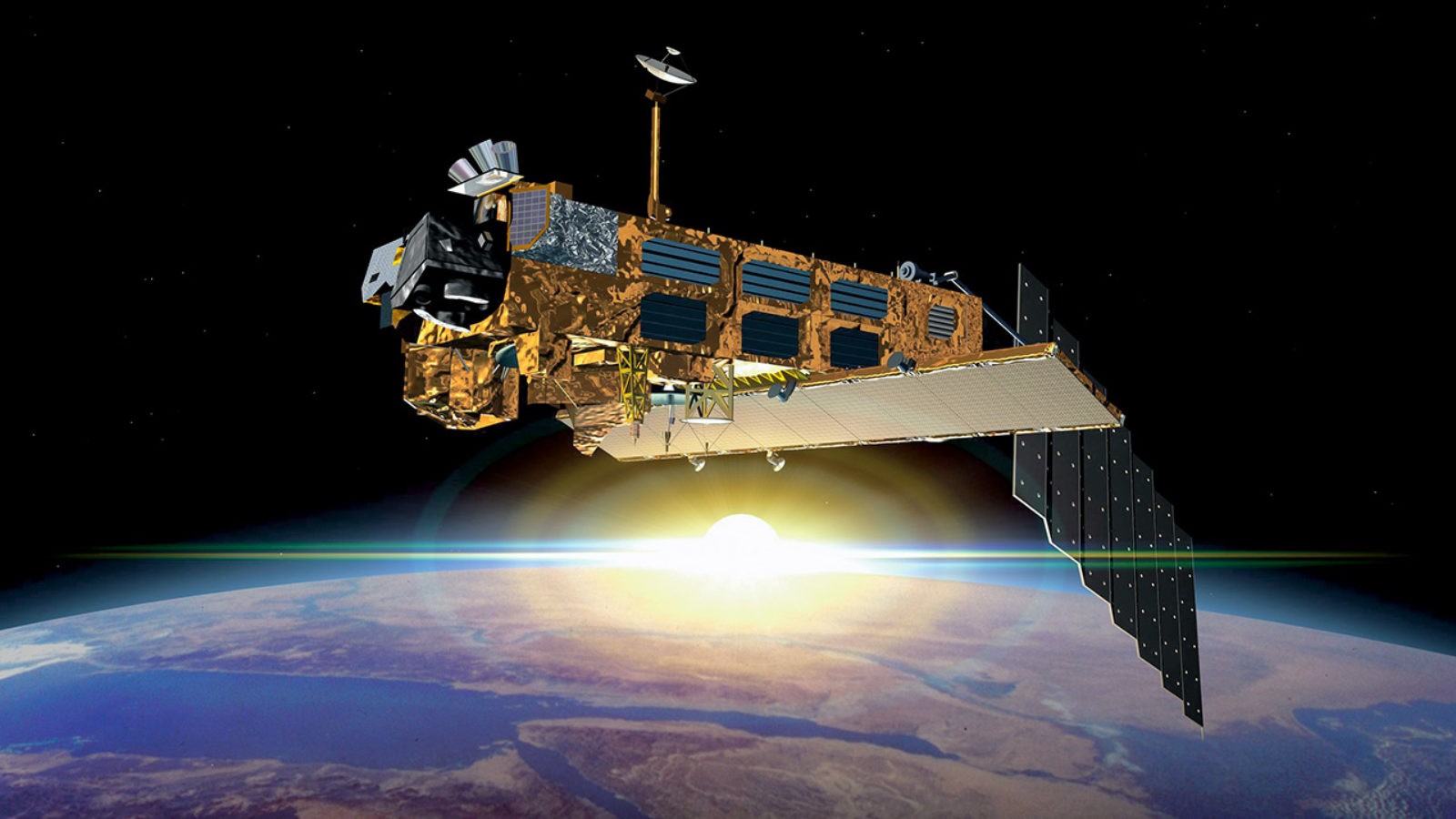
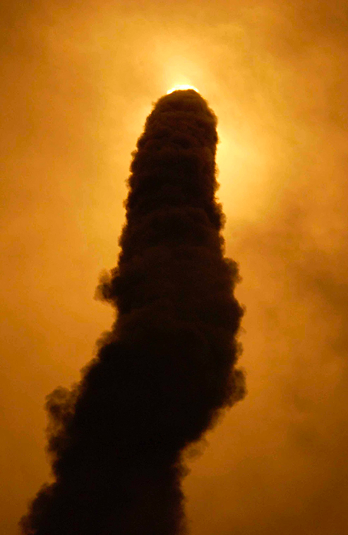
March 1, 2002: launch day for the European Space Agency’s Envisat, the biggest, most sophisticated environment-monitoring satellite ever built. It could never have happened without the magnificent performance delivered by the rocket that bore it aloft – Ariane 5.
Ariane 5’s Envisat launch mission that day was, befitting its exceptional passenger, quite remarkable.
© ESA-CNES-Arianespace-S. Corvaja
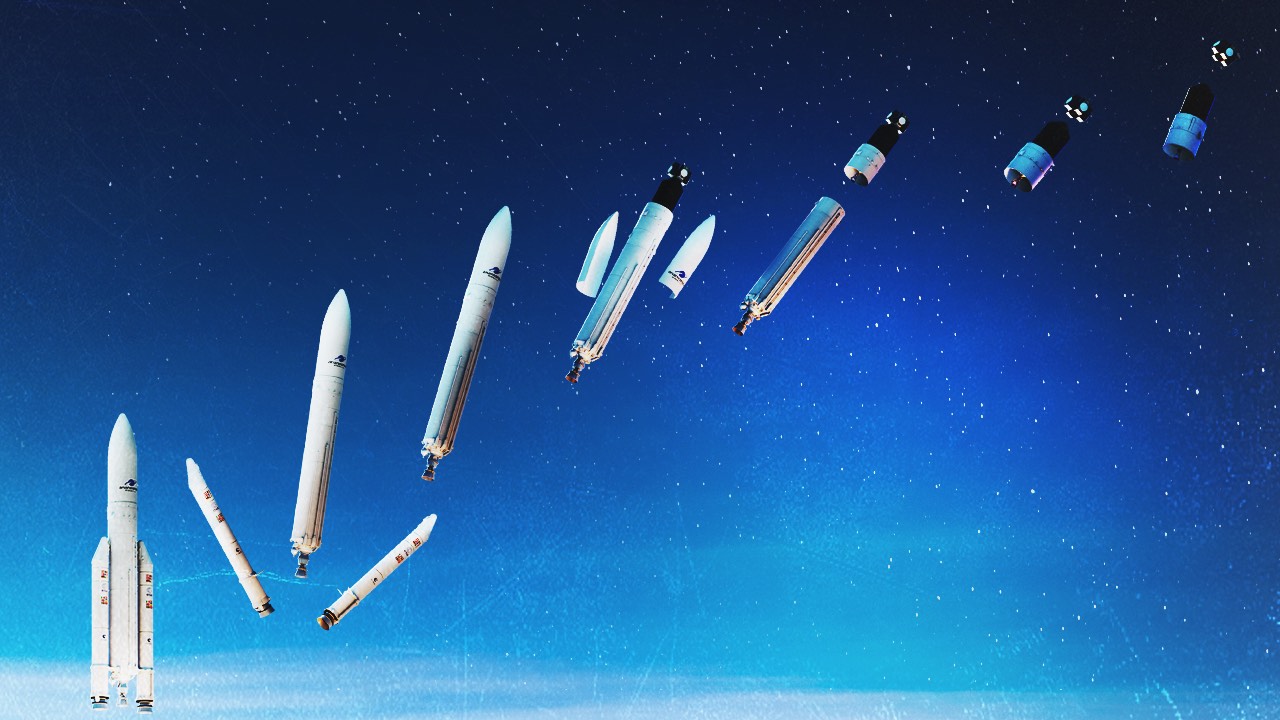
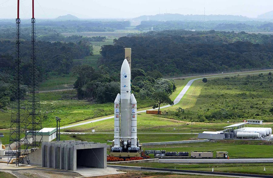
The only operational launch system capable of transporting such a large and heavy satellite, the Ariane 5G version carrying Envisat was the first Ariane 5 to use the elongated 17-metre long fairing to accommodate its eight-tonne, 10-metre tall cargo. The mission set a new record in payload carriage – both weight and height – for Ariane 5
Lifting off under clear skies from its launch base at Europe’s Spaceport in French Guiana, this launch was the first Ariane 5 to head northwards from Kourou, and the first to deliver its payload into a sun-synchronous orbit.
© ESA-CNES-Arianespace-S. Corvaja
Twenty-six minutes and 35 seconds of absolutely textbook ascent later, spacecraft separation occurred, and Envisat was released into space on its mission to take environmental monitoring of the Earth into a new dimension.
And the flight had a surprise bonus to offer. Ariane 5 placed Envisat into its target orbital location with such consummate precision that the satellite needed to use less of its own stock of fuel than planned to manoeuvre itself into its final position, with the result that it had extra reserves for its operational lifetime.
Envisat observed and monitored the Earth’s land, atmosphere, oceans and ice caps during its 10-year lifetime, giving us a truly global view of the planet’s natural eco-system and the impacts of human activity.
It recorded the topography of the landmasses and the seas to within a few centimetres, and surface temperatures with a precision of a few tenths of a degree. It tracked variations in vegetation cover, marine microlife and cloud composition. It studied the chemical profile of the atmosphere, measuring levels of ozone, trace gases, water content, and pollution.
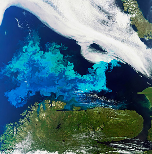
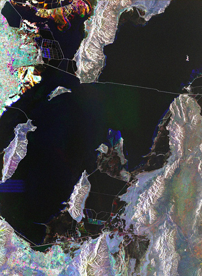
© ESA – Barents Sea, off the Norwegian coast, August 2011
Its high-resolution radar sensors could pinpoint ships, identify oil spills, register land movements and flood contours to within millimetres.
Envisat exceeded all expectations, delivering observations of an even higher quality than was originally specified.
The Envisat mission ended on April 8, 2012, well over double the originally planned operational lifetime for the satellite.
Thank you Ariane for making this possible!
Here is a just a small selection of images taken by Envisat during its mission.
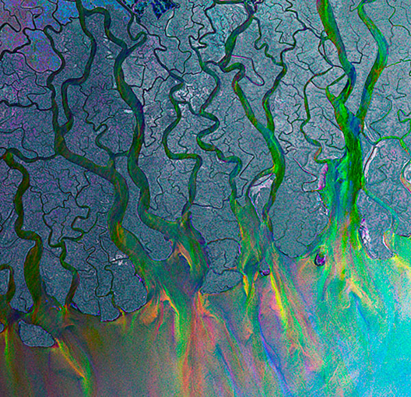
© ESA – Ganges Delta, July 2009
© ESA – Great Salt Lake, USA, April, June, July 2011
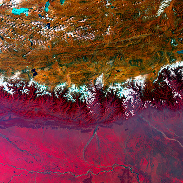
© ESA – Himalayas, February 2009
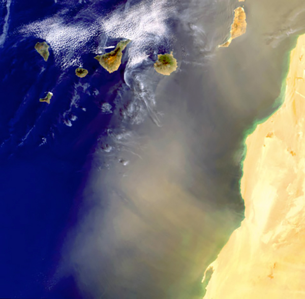
© ESA – The Western Sahara and the Canary Islands, May 2009
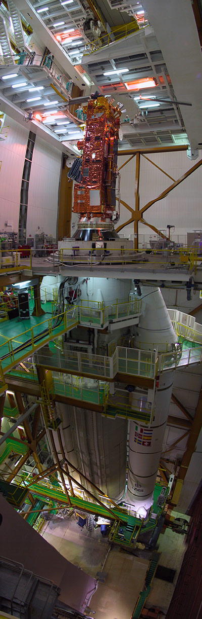
© ESA – CNES – ArianeSpace
Envisat on launcher